Wolfram Luther
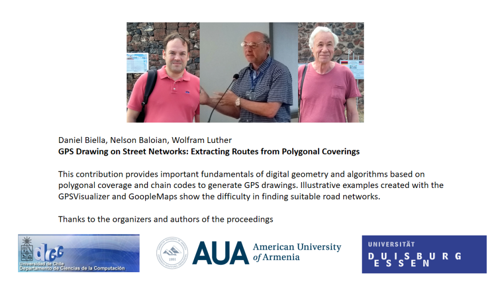
Daniel Biella, Nelson Baloian, Wolfram Luther
University of Duisburg-Essen
Abstract:
| This contribution provides important fundamentals of digital geometry and algorithms based on polygonal coverage and chain codes to generate GPS drawings. Illustrative examples created with the GPSVisualizer and GoopleMaps show the difficulty in finding suitable road networks. |
 Discussion Room: GPS Drawing on Street Networks: Extracting Routes from Polygonal Coverings